Twinstead

Twinstead · 3D & LiDAR

A model you can take measurements from.

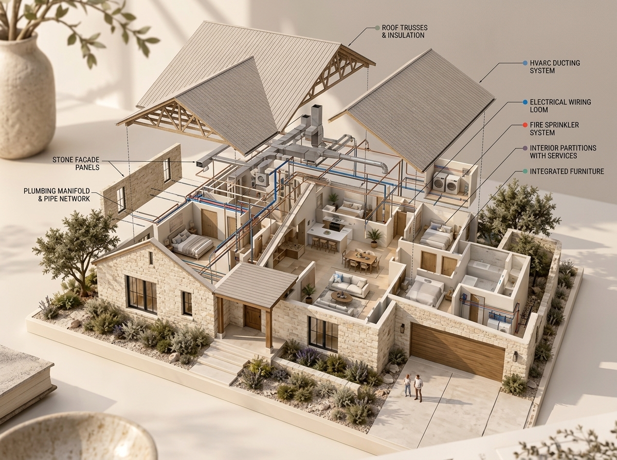
Not a pretty render — a dimensionally honest capture of the actual building that you can measure, share, and hand to anyone who needs to understand the space without standing in it.

3D modelling & LiDAR

A model you can take measurements from.

Not a pretty render — a dimensionally honest capture of the actual building that you can measure, share, and hand to anyone who needs to understand the space without standing in it.

How wide is that doorway? Will the new unit fit through it? Once the property is scanned, those get answered from a laptop. We capture with LiDAR where accuracy matters and photogrammetry where texture matters, and deliver both as one model.

A tape measure only works if you are there.

01

A measurable 3D model

Dimensionally accurate, viewable in a browser with no software to install.

02

Floor plans

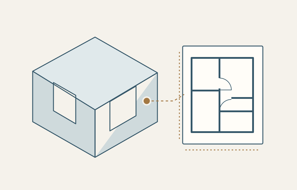
Generated from the scan and labelled room by room, so the plan matches the building rather than the original drawings.

03

Pose-linked photography

Every photograph knows where it was taken. Click a spot in the model, see what is actually there.

04

Dimensional takeoffs

Room areas, ceiling heights, opening widths — pulled from the capture, not estimated.

05

Shareable access

Send a link to a contractor, a buyer, or an adjuster. No account required on their end.

06

Archive copy

A copy of the raw capture and the finished model, delivered to you. It is your building; it is your data.

Next step

Tell us about the property.

Where it is, roughly how big, and what you are trying to stop having to drive out for. We will tell you what it would cost and what you would get.